Based on Michael Brein's printed Travel Guide series, Travel Envi applications help you get to a city's main points of interest easily and inexpensively, using public transportation. With Travel Envi apps you can:
- View basic information on many points of interest, including "Must See" attractions
- Find the public transportation access point nearest to your current location, and see which line(s) to take
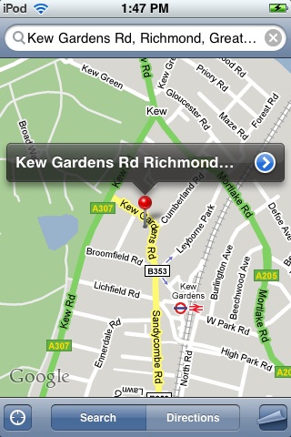
- See how to walk from public transportation to the attraction
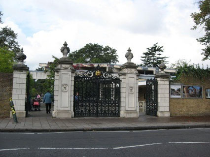
- See a photo so you know what to look for
- Note nearby points of interest
- View the attraction's location, as well as your own, in the Maps application
- Easily pull up the attraction's Web site in Safari for additional details
All Travel Envi content is built into the application, so access is instant and you don't have to worry about Internet access in a foreign city.
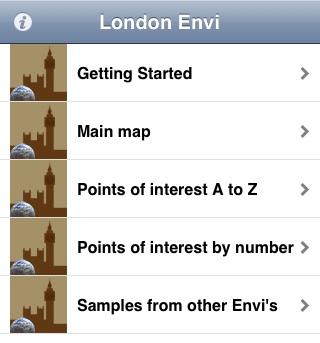
Start by choosing a point of interest in the group "Points of Interest A to Z" or "Points of interest by number":
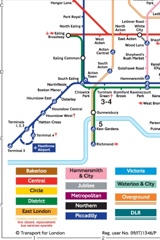
The numbers are taken from the maps in the "Main Map" group:
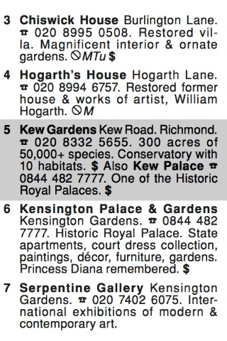
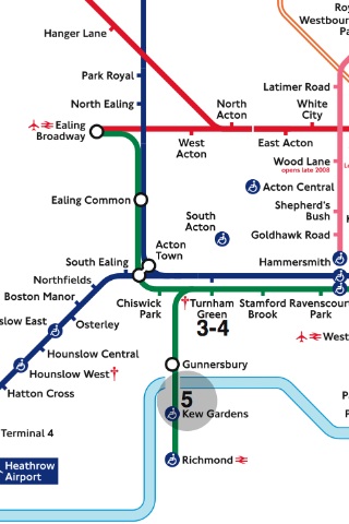
For example, Kew Gardens is number 5. When you view a point of interest, you'll first see text with summary information about the place. We'll use Kew Gardens from London Envi for this example:
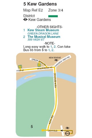
The next image is a map detail showing how to get from public transportation to the place,
then a portion of the public transportation system map,
and finally a picture of the place.
Normally, controls will be displayed at the top and bottom of the screen, as described in
Watching shows, but we've omitted them here for visual clarity. Tapping the
globe iconbrings up a dialog with a
View in Maps button. Tapping this button takes you to a map of the area, displayed in the iPhone/iPod's Maps application.
Details on the Maps application can be found at
iPod touch User Guide for iPhone OS 3.1 Software or
iPhone User Guide for iPhone OS 3.1 Software.
